|
|
 |
|
Spotter activation may be needed during the next few days.
Spotters are requested to self activate if warnings are issued for their area.
| |
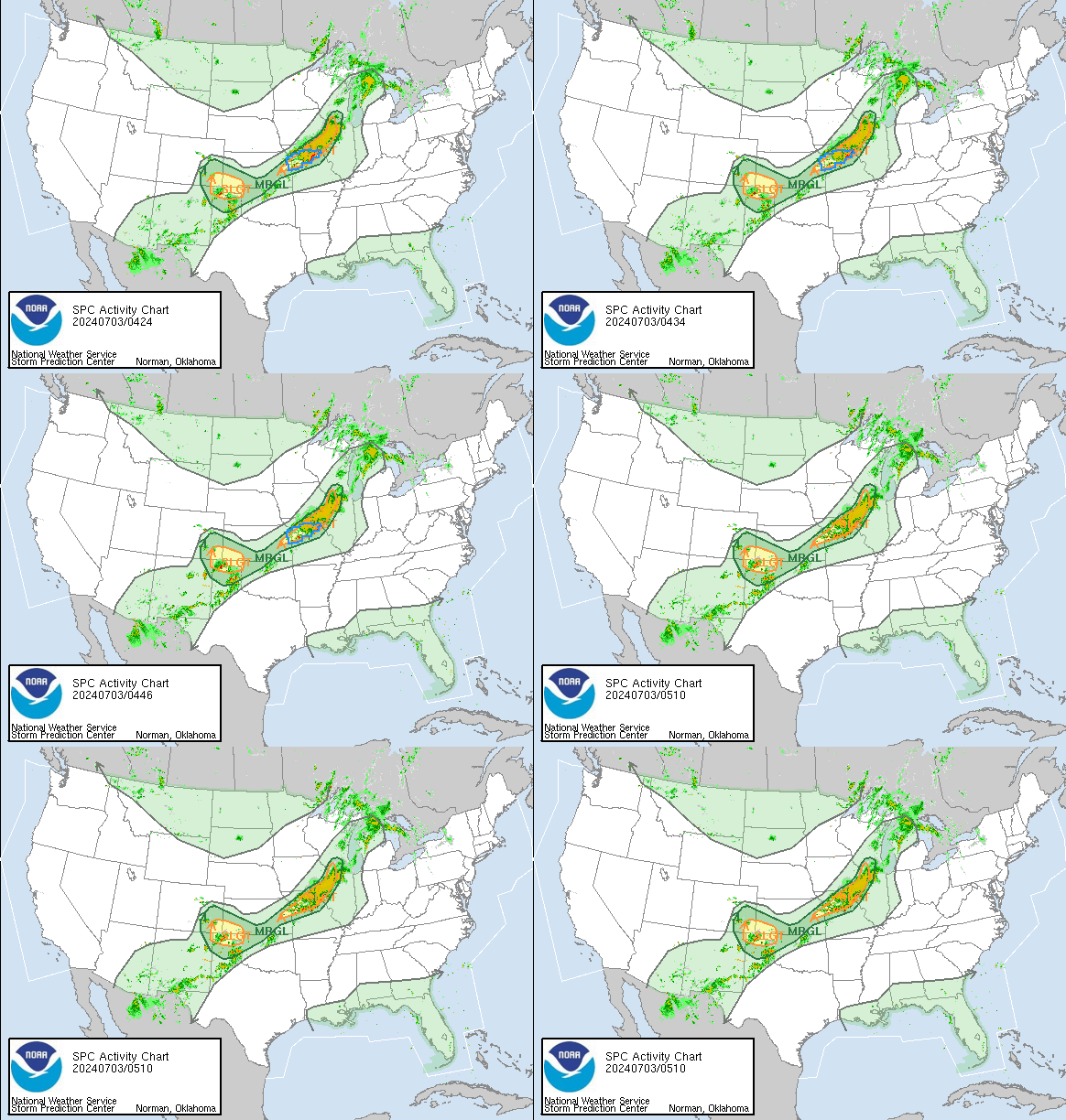
SPC Activity Chart
Showing a 1 hour radar loop, the current Day1 convective
outlook, and all active watches/warnings
(updated every 15 min.) - click on the image to go to the SPC Hourly Mesoscale
Analysis site
 Watch boxes in RED are Tornado
Watches
Watch boxes in BLUE are Severe
TS Watches
|

National Watches, Warnings and Advisories
All map data provided by NOAA and the NWS

|
 |
|
|
|
DISCLAMER:
CLINCH COUNTY SKYWARN IS NOT RAN BY THE NATIONAL WEATHER SERVICE NOR CLINCH COUNTY EMERGENCY MANGMENT AGENCY. IT IS A
PRIVATE RAN SPOTTER GROUP
|
|
|
 |

